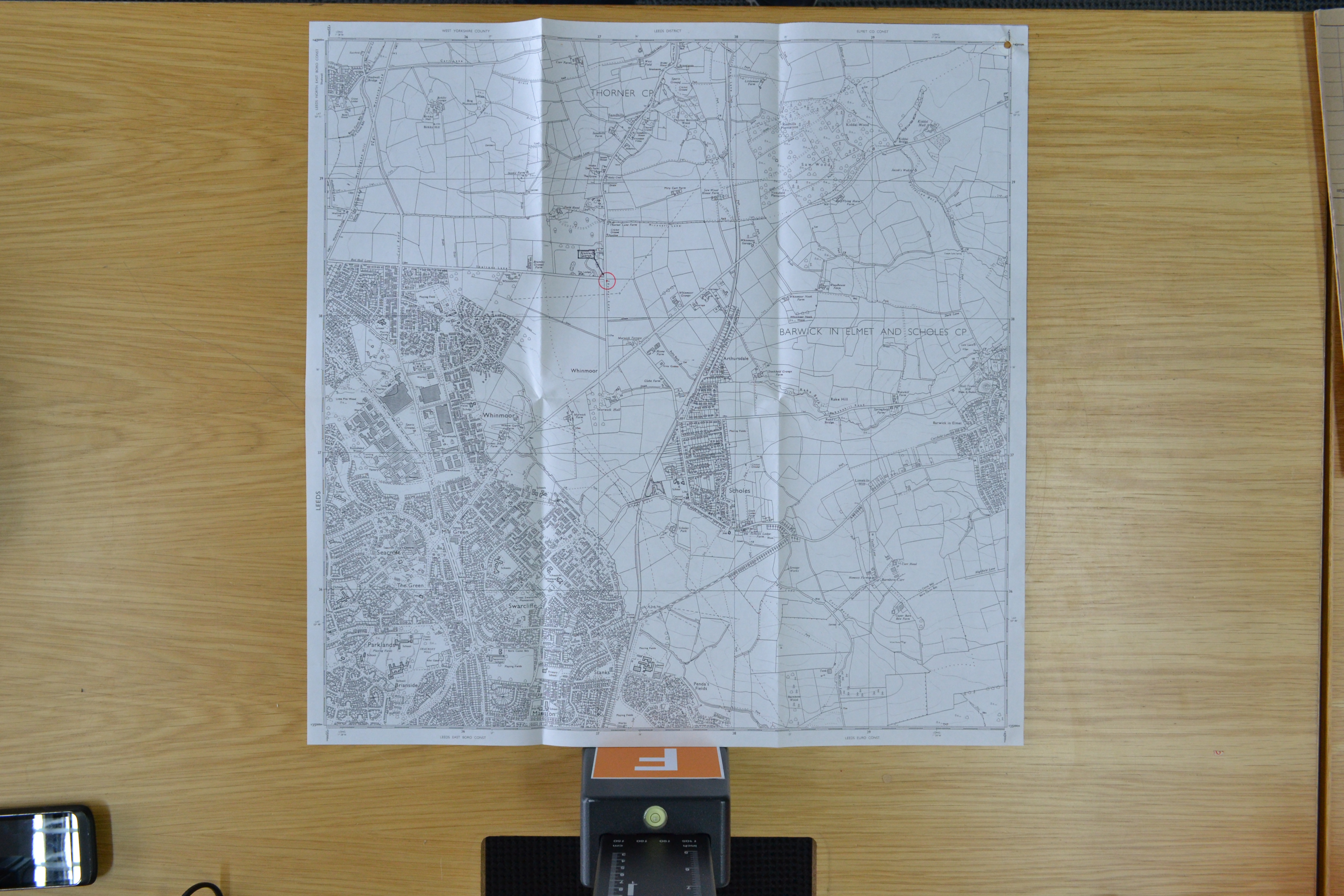
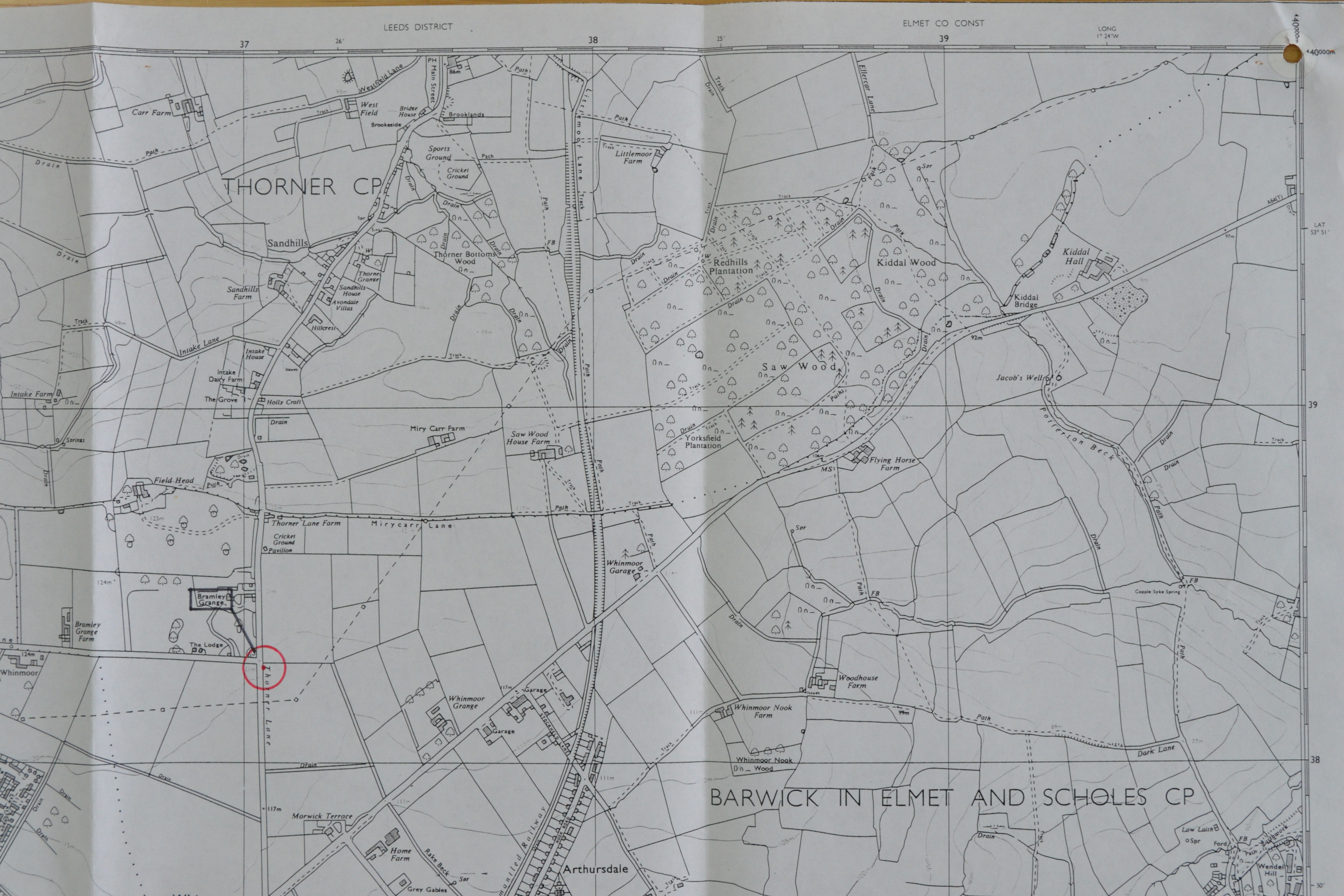
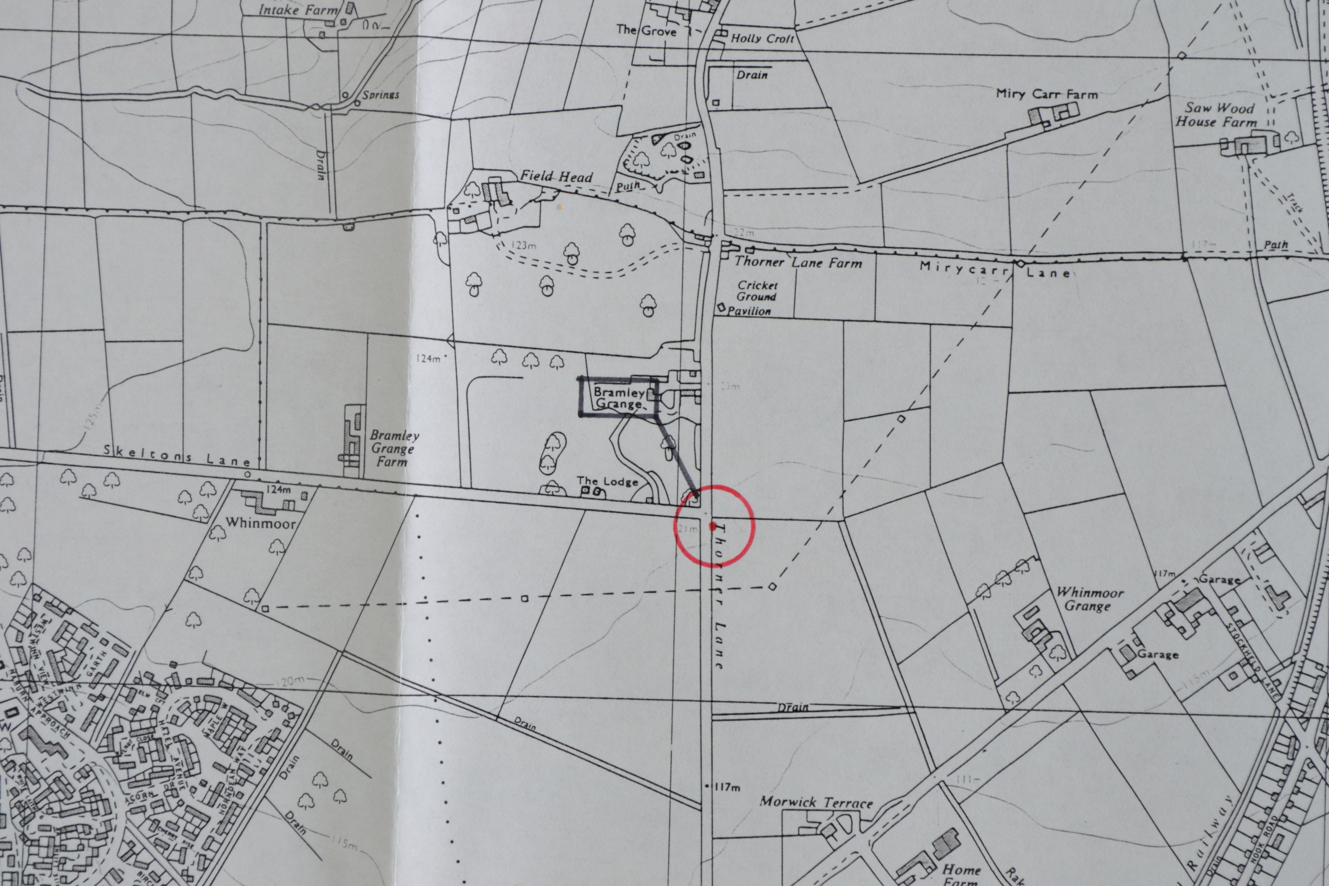
0001 Map; station position marked relative to road junction
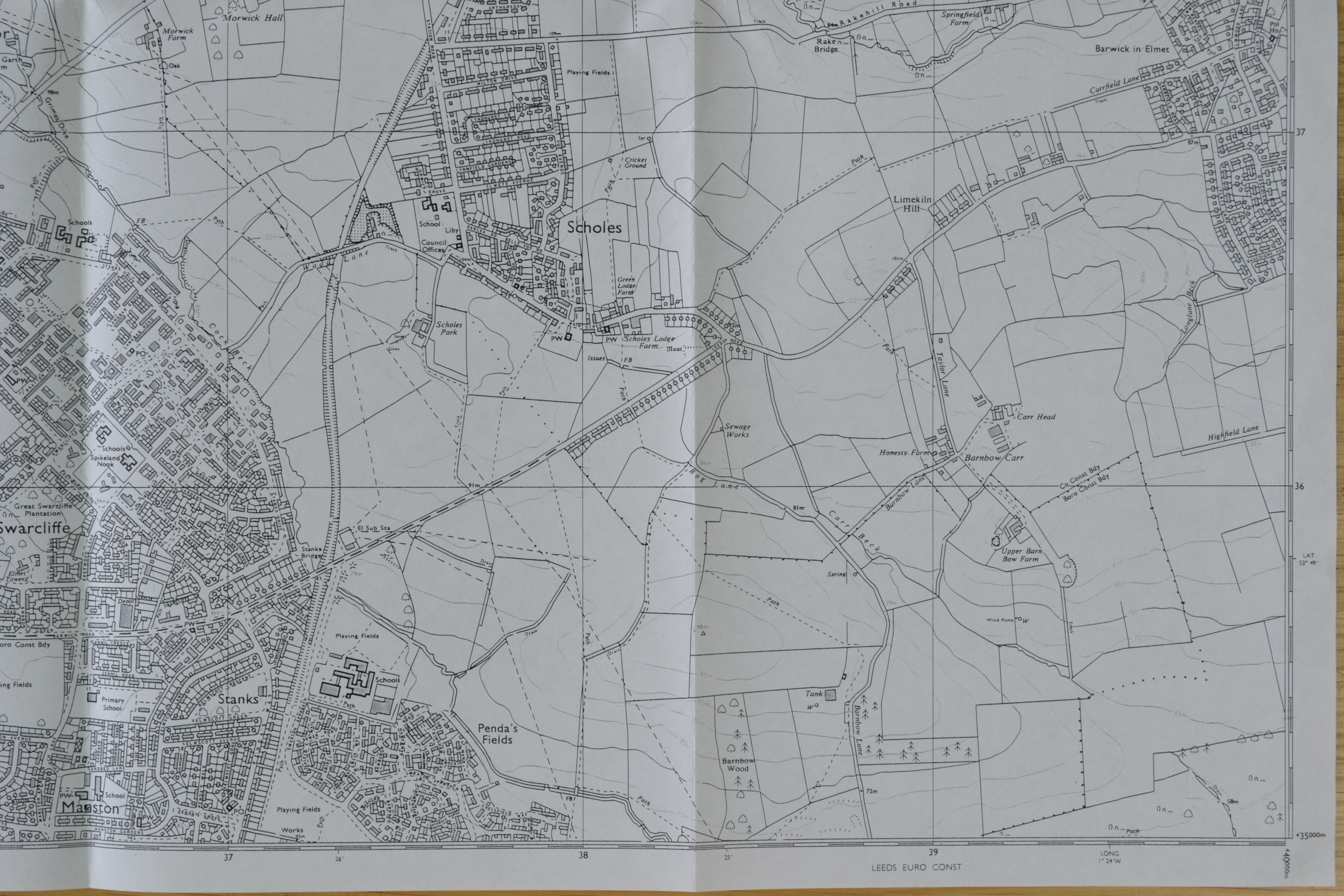
0002 Map; detail of page 1 (Scholes; area to S of site)
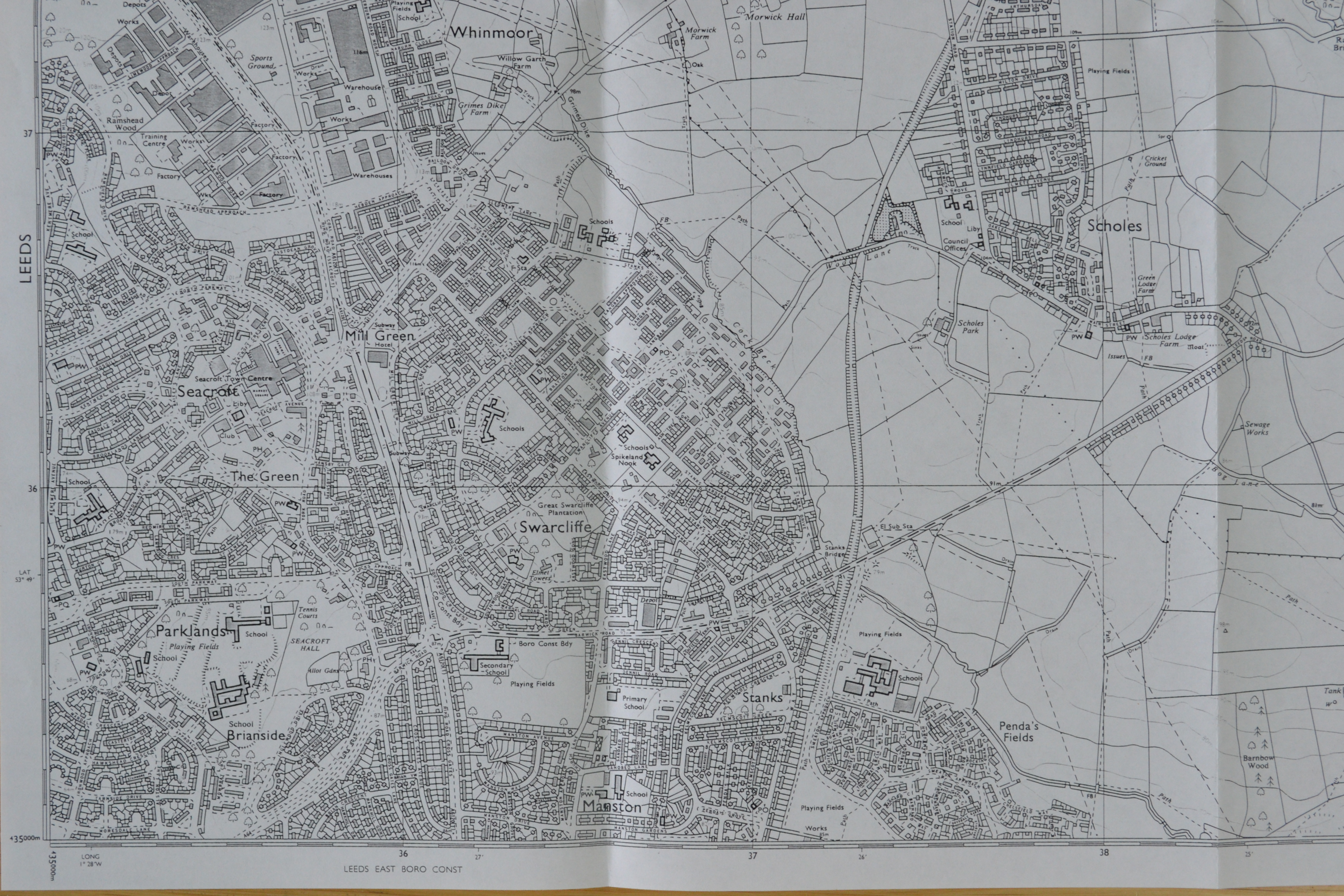
0003 Map; detail of page 1 (area to SW of site)
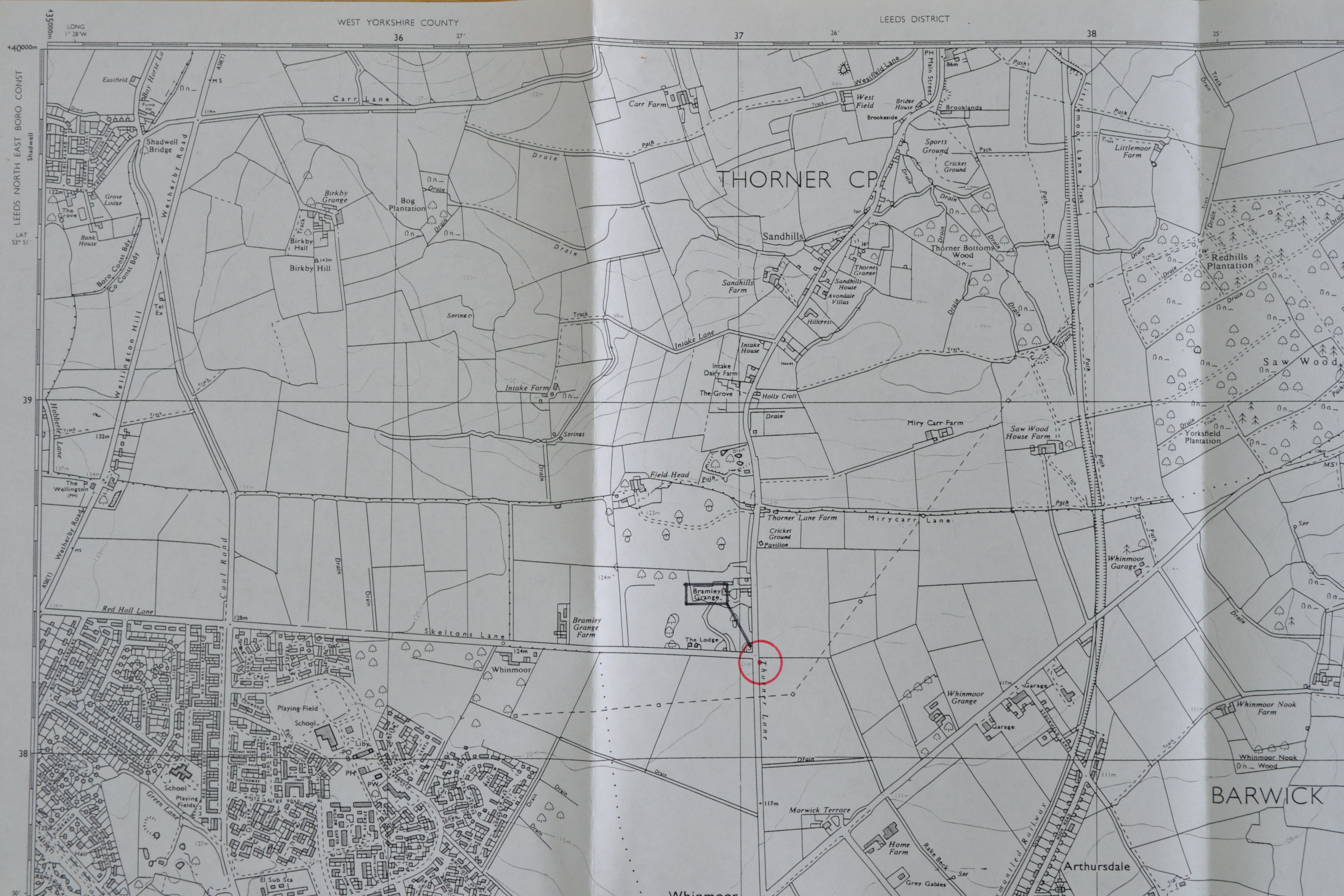
0004 Map; point marked on E side of Thorner Lane; just S of production of S side of Skelton Lane
0005 Map
0006 Map
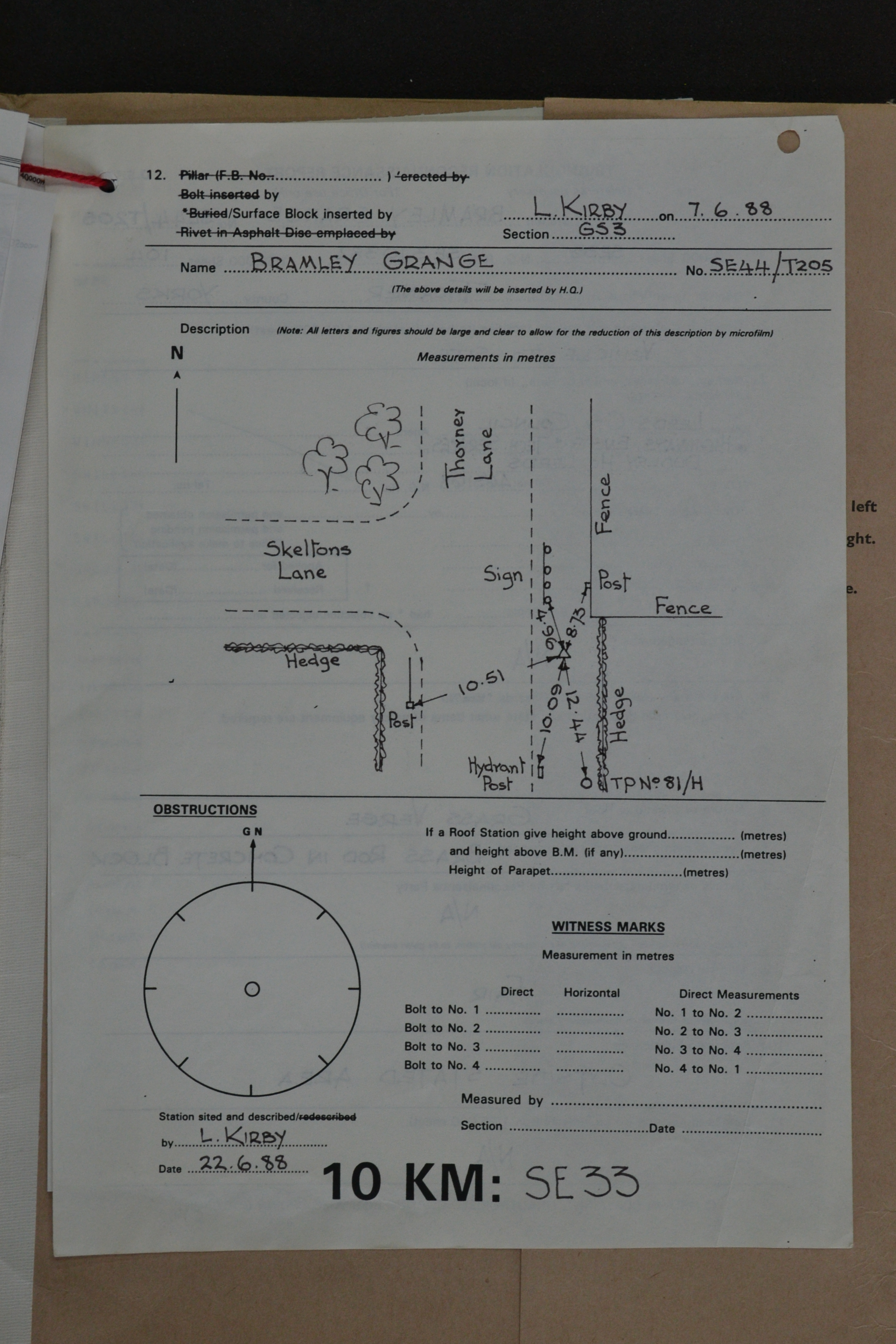
0007 Sketch dated 7.6.88. Implied alignment with hedge on S side of Skelton Lane? Unclear if any of the reference points still exist. No witness marks recorded. Footpath on W side of Thorner Lane not shown.
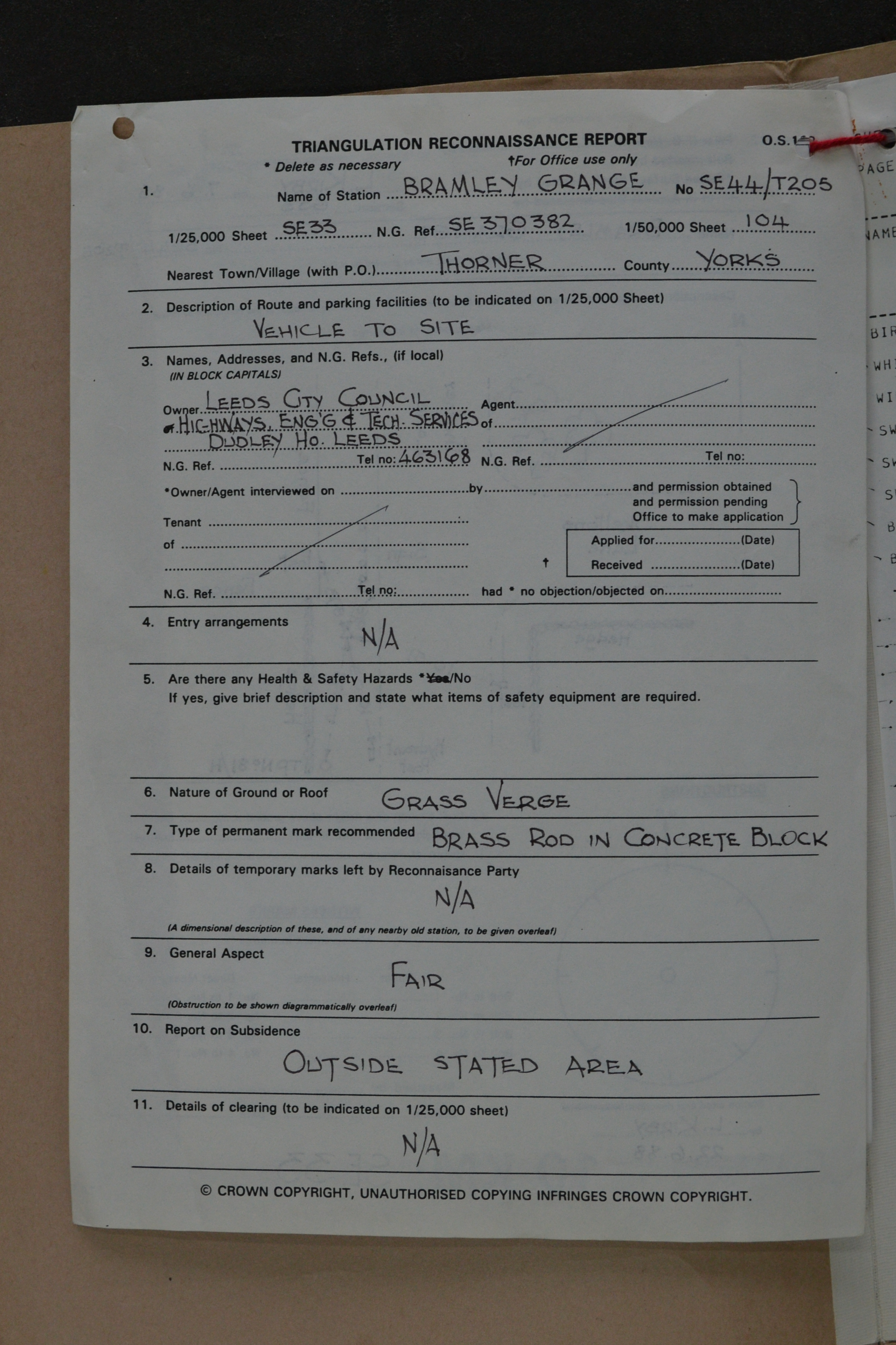
0008 Reconnaissance Report SE 370 382. "Grass Verge" "Brass Rod in Concrete Block"
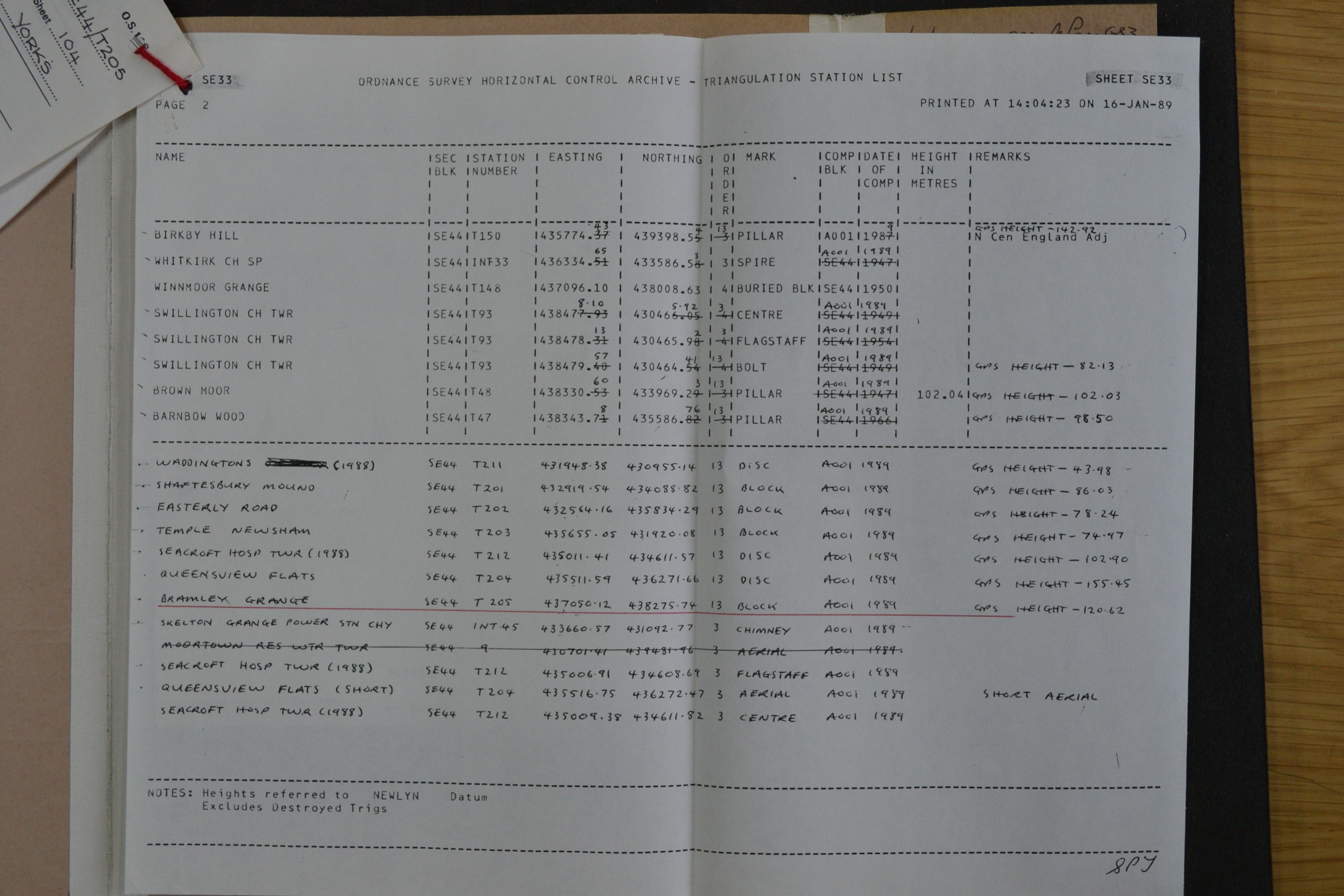
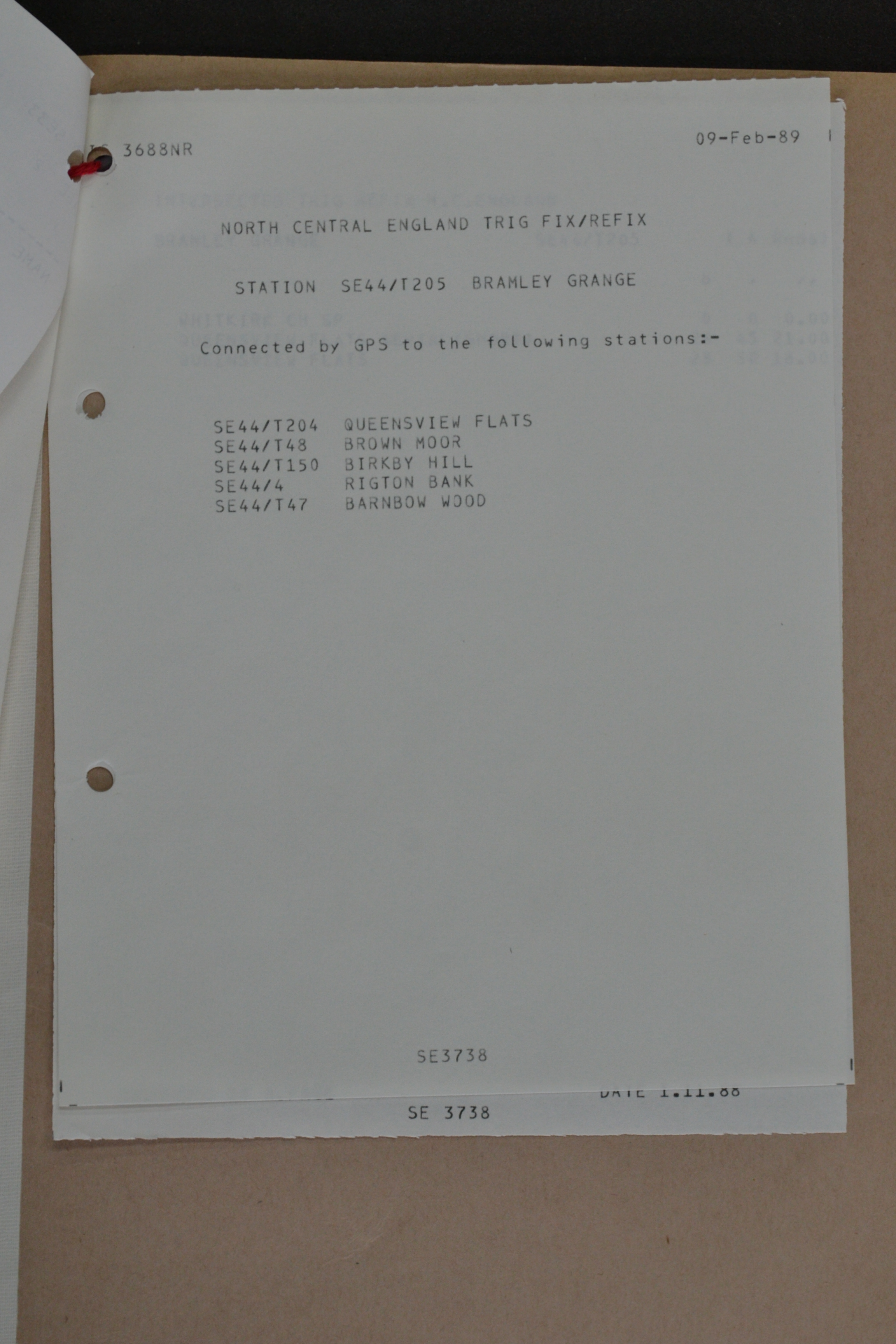
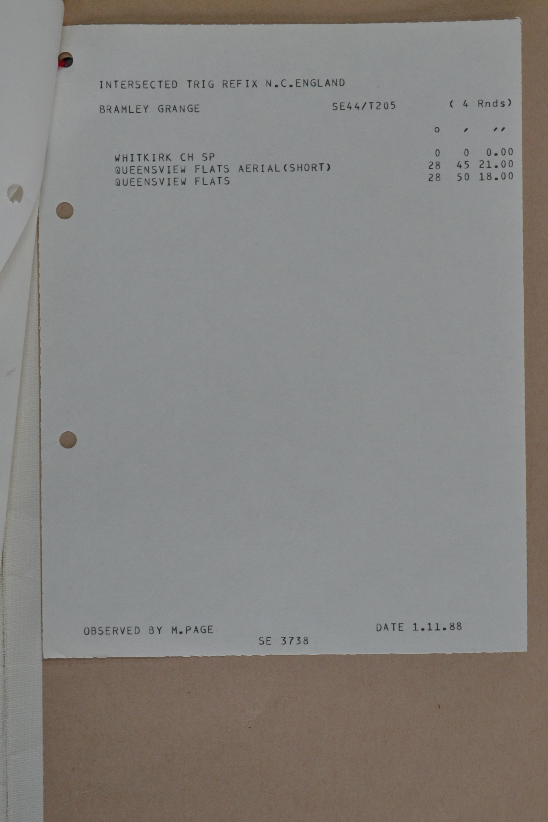
0009 Control List with various local stations (computer print-out with annotations). Bramley Grange coords included as 437050.12 438275.74